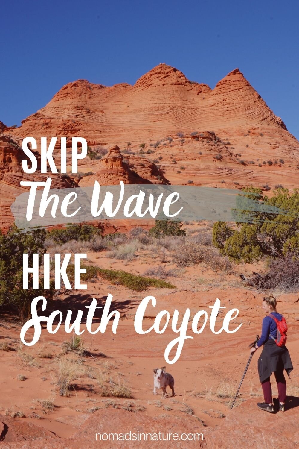
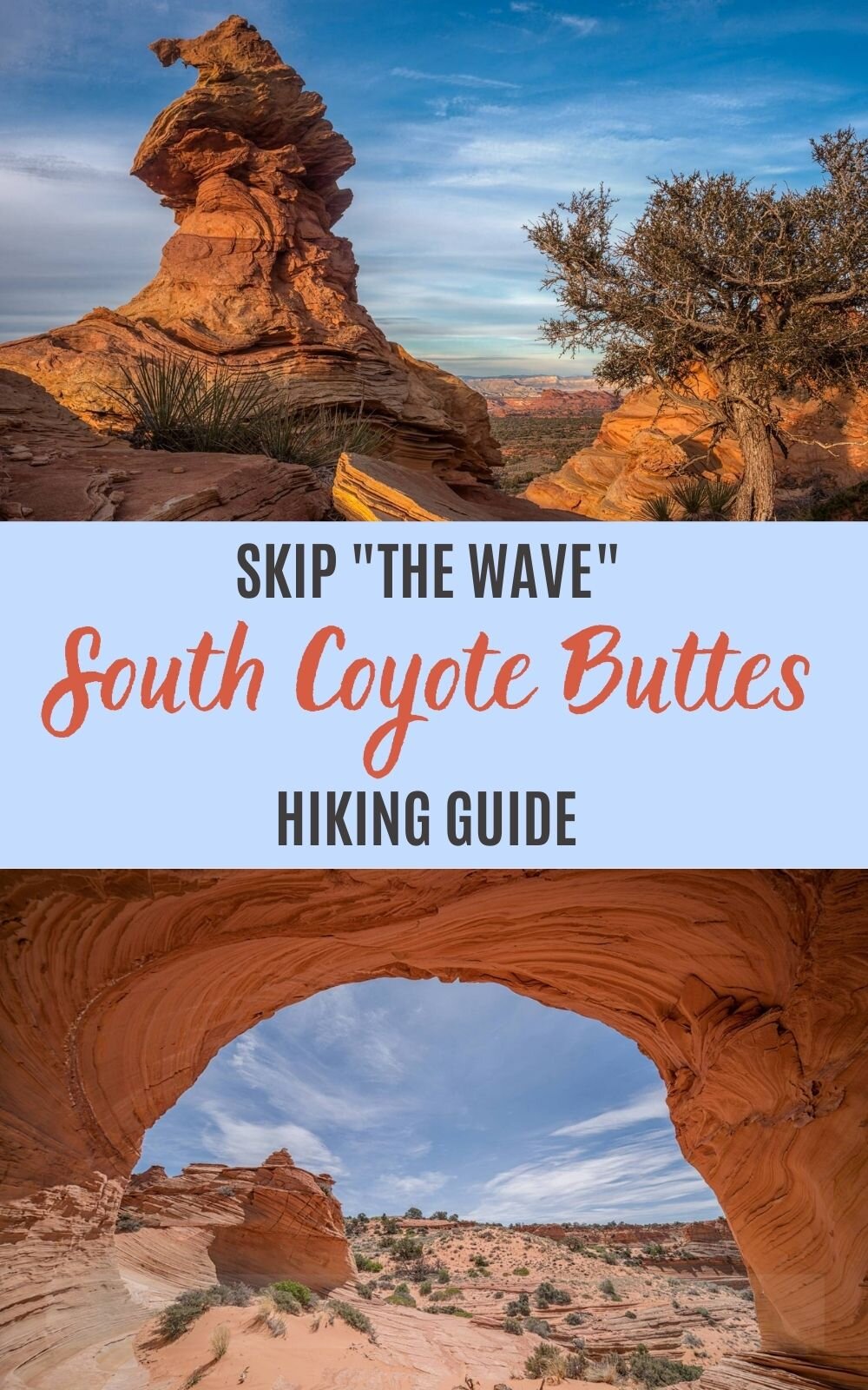
Skip the Wave, Hike South Coyote Buttes
Trying to get a permit for southern Utah’s iconic “The Wave” is near impossible. What most people don’t know is right next to The Wave are amazing sandstone formations that are just as unique and the permits are a lot easier to win.
Enter Coyotes Buttes South.
If you are like most and have never heard of Coyote Buttes South, you definitely need to set your eyes on this hidden gem now before the word gets out and it’s just as hard to get a permit to hike here.

Coyote Buttes South Hike
Distance - 4 to 12 miles (no set trail)
Difficulty - moderate (navigation skills req’d)
Permit - required year-round
Location - Page, Arizona
Coyote Buttes South vs North
Here are a few reason why we think Coyote Buttes South is better to hike over the North/The Wave:
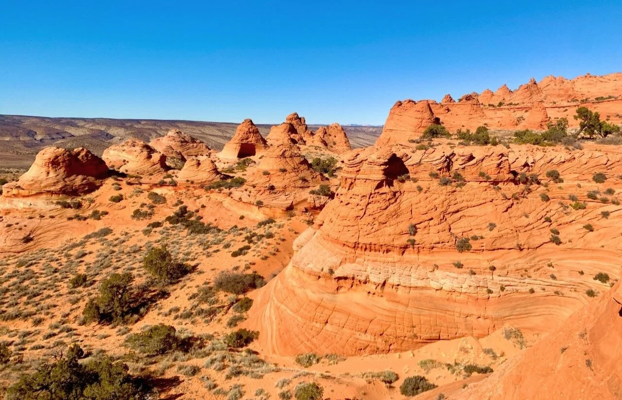
It is home to several unique sandstone formations (not just one)
It’s even home to “The South Wave”
Most people don’t know about this area and chances of getting a permit are much higher


Important Info - Coyote Buttes South
There are no signs or trails to lead throughout your hike in South Coyote Buttes. You must have good navigation and tracking skills.
It is required to have a 4x4 high clearance vehicle to access the start of the trailheads, if not, you can walk in the additional 2.5 miles from the main road.
Lottery System - Coyote Buttes South
A Bureau of Land Management (BLM) permit is required year-round to access this area.
Advance Online Lottery:
You will need to go online to recreation.gov and request a permit up to 3 months in advance for South Coyote Buttes. Since this is not too popular of an area yet, you can view the online calendar and book a date immediately without the need to enter the lottery.
It costs $14 total for the online registration fee, plus $5 for each additional person.
Only 10 people/4 groups per date are allowed in advance and the remaining 10 people will be awarded in the new online daily lottery.
Daily Online Lottery:
The daily lottery is no longer in person, and permits are awarded online only at recreation.gov.
The daily lottery issues permits for two days in advance of your hiking date.
To apply for the daily lottery permit a group member must be logged into recreation.gov and within the geo-fence area during the application window of 6am to 6pm, two days before the permit date.
10 people or 4 groups are issued permits per day for walk-ins. Dogs do not count toward the permit quota but must be included and require a fee.
It costs $9 to register for the lottery and if selected, it costs an additional $5 per person and dog. (only hike with dogs that are strong hikers, and used to heat and sand)
Schedule of Daily Lottery:
Day 1 – Apply between 6am and 6pm two days before the requested entry date. Results are sent out at 7:15pm same-day.
Day 2 – Successful applicants must accept and pay the permit fee by 8am Utah time and be onsite at a permit pickup location at 9am local time for a safety briefing. (Keep in mind local time may be different between AZ and UT during daylight savings time.)
Currently, one pickup location is in Kanab, UT, and one in Page, AZ.Day 3 – Your permit date to explore South Coyote Buttes (get there early so you have all day to explore and avoid the heat)
Directions to South Coyote Buttes
It’s about an hour and twenty minute drive from Kanab, UT to the first parking access point.
From Hwy 89 you will exit onto House Rock Valley Road, it’s a rough dirt road but most cars can make it during dry conditions.
If it has been raining, keep in mind the road gets VERY muddy fast and isn’t safe for vehicles to drive down. There is an epic picture on the rec.gov permit page of a Jeep sinking in the mud.
After the first 8 miles down House Rock Valley Road you’ll pass Wire Pass Slot Canyon/The Wave parking lot, continue on an additional 8 miles down the dirt road to Lone Tree parking lot.
From here 2WD vehicles and lower-clearance 4WD vehicles will have to park and walk the 2.5 miles to the trailhead.
*Do not try this last 2.5 miles if you’re unsure, the sand is very deep and difficult to drive on.
Map of Coyote Buttes South
The 3 main access points to Coyote Buttes South:
Lone Tree: there is a small parking lot you can park in and then walk the additional 2.5 miles down the sandy road to the permit area at Paw Hole.
Paw Hole: a high-clearance 4WD vehicle is required to access this area. The sand is soft and deep, and you will get stuck if you don’t have the required vehicle. It’s not worth the risk in this remote desert area.
Cottonwood Cove: a high-clearance 4WD vehicle is required to access this area. If you can, this is the best point of entry to South Buttes, but it’s down an even longer deep, sand road than Paw Hole, so your risk of getting stuck is higher.
The best option is to hire a local tour guide to drive you to the permit area. They will also make sure you see all the major formations without getting lost or stuck.
Coyote Buttes South Formations
This is an excellent map of South Coyote Buttes's parking area, trailhead, and rock formations. I highly recommend taking screenshots of these before you go!

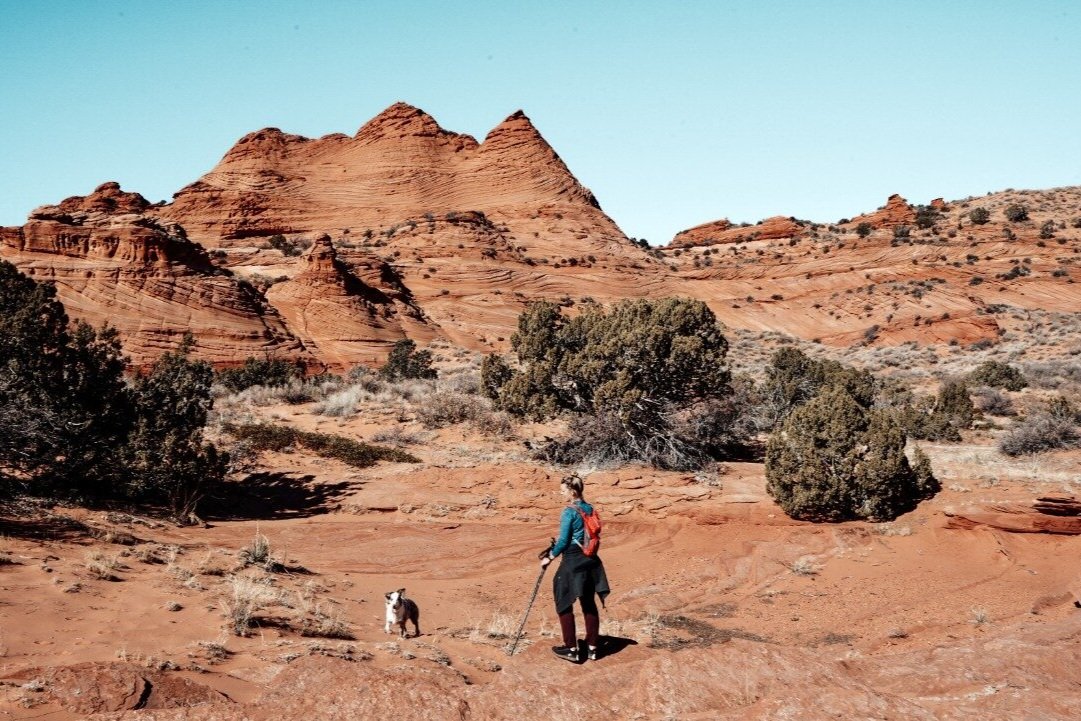
Hiking Coyote Buttes South
We hiked Coyote Buttes South in November. While it wasn’t as hot (high of 60F), it was still very dry.
Honestly, I was more worried about the drive in than the actual hike. We’ve gotten stuck in Kanab’s deep sand before (with the trailer attached) and it flat out sucks.

(image courtesy of thevanescape.com)
We parked at Paw Hole Access Point since we have an F350 4WD, but didn’t want to push our luck trying to make it to the Cottonwood Access Point.
Of course, we ended up getting stuck, but that’s because the 4WD wasn’t properly activated...oops!
Thankfully we got out easily once activating the 4WD.
I can’t express enough how deep the sand gets and would not attempt this without having a 4WD and experience driving in deep sand.
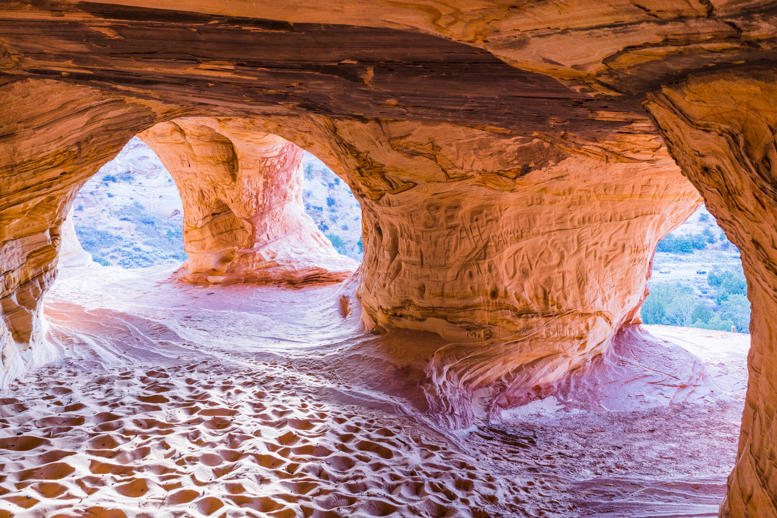
Once entering Coyote Buttes South at Paw Hole, we hiked directly to the Southern Alcove. It’s massive and beautiful, and will probably serve as your reference point on how to get back.

View inside the Southern Alcove - Coyote Buttes South
Unfortunately, we couldn’t find a pass to go straight over or through the Southern Alcove so we went right (east), over the fence line, and around the formations before we could turn back left to get to the other formations.
The fence line appeared off and on so it also became a good point of reference on our hike.
From there we were trying to make it to the Southern Wave, Witches Hat, and Control Tower, but it was just too far since we didn’t get started until noon, and in winter the sun goes down by 5pm.
We did make it to the Rainbow Cove from a very distant overlook. That was about 3 miles out.
Birds Eye View of Rainbow Cove - Coyote Buttes South
After getting plenty of gorgeous views and pictures we headed back the same way we came out by finding our footprints or our landmark point of reference.
I don’t think it’s necessarily a hard hike as elevation isn’t a major factor, but hiking through the deep sand is just as exhausting as climbing up 2000 feet.
Also, don’t forget the conditions are dry and if it is windy you will have a hard time using your footprints as a navigation point.
Next time, we will rent a side by side or tour guide to take us to the Cottonwood Cove access point since it’s closer to a majority of the formations.
Do Not Forget
- All three access points are undeveloped; no toilets or water are available at these sites.
- It’s recommended you bring 1-2 gallon/4-8 liters of drinking water per person. In the summer it is VERY hot & dry out there, even in the winter we drank more than we expected because how dry it is.
- If you are bringing your dog, make sure to bring more water for them.
- There are no designated hiking trails in Coyote Buttes South. Permit holders should be in good navigation skills.
- Service is non-existent. Download the area off Google maps and the hiking trail from All Trails. Plus, take screenshots of the formations map.
- Tell a responsible person where you are going in case of an emergency.
- Wear sunscreen, a hat, sunglasses, and mouth/nose covering in case the winds pick up while out there in the sand.
- Hiking poles are recommended as the sandy hills can be tough.
Packing List - South Coyote Buttes
Reservation & Maps: make sure you have a way to view the surrounding area and hiking trail off-line.
Packable jacket: just in case it rains or winds pick up, her REI GTX Jacket and his OR Foray Gore-Tex Jacket, are water-proof, wind-proof, durable, and packable.
Face covering: a Buff is for protection against sandstorms or to wet and cool off your neck.
Hydration Pack: his Gregory 25L and her Osprey 20L are perfect for all-day hiking
Sun Hat: the best hiking hat for this desert hike
Sunscreen: Coola is our go-to lightweight sunscreen for sweaty hikes and isn’t greasy.
Trekking Poles: I highly recommend trekking poles to assist on the sandy slopes.
Safety Items: ultralight First Aid Kit and a Headlamp
Shovel: if you’re planning to drive in the sand, bring a shovel or tractions boards just in case you get stuck.
Jumper Cables: this device is life-saving
Snacks: protein bars and Honey Stingers for quick energy
Electrolytes: we swear by this no-sugar electrolyte mix to prevent dehydration on tough hikes
Dog Accessories: our Aussie always has a hiking water bottle, hands-free leash, and no-pull harness.
We use affiliate links for products we recommend!


pin it—